Trail Details
North Fork of Blackfoot Trail #32
|

|
|
BEFORE GOING TO ANY WILDERNESS AREA, CALL THE APPROPRIATE FOREST SERVICE OFFICE FOR INFORMATION ABOUT THE TRAIL YOU PLAN TO TAKE: Seeley Lake Ranger District 406-677-2233
Dates of this Trip:
August 29-31, 2018
August 29-31, 2018
Why We Choose This Trail:
We had both heard good things about this trail and knew that it hooked up to dozens of other trails, short and long, running throughout the various wilderness areas. We knew it was well maintained and well traveled, so there would be few surprises, and if we ran into trouble, it was likely that there would be other people coming by before too much time passed. The river made for easy access to water, and the trails were clearly marked. Plus, there were lots of day or multi-day additions we could easily explore if we felt up to doing more once we got out there.
We had both heard good things about this trail and knew that it hooked up to dozens of other trails, short and long, running throughout the various wilderness areas. We knew it was well maintained and well traveled, so there would be few surprises, and if we ran into trouble, it was likely that there would be other people coming by before too much time passed. The river made for easy access to water, and the trails were clearly marked. Plus, there were lots of day or multi-day additions we could easily explore if we felt up to doing more once we got out there.
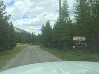
THE TRAILHEAD:
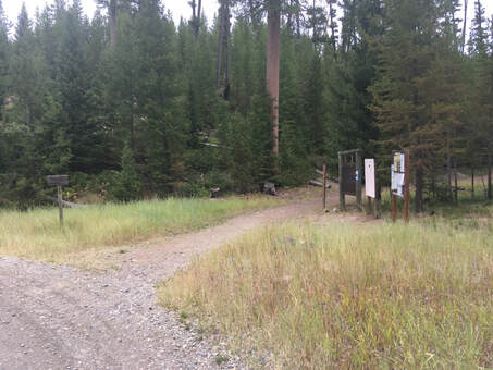
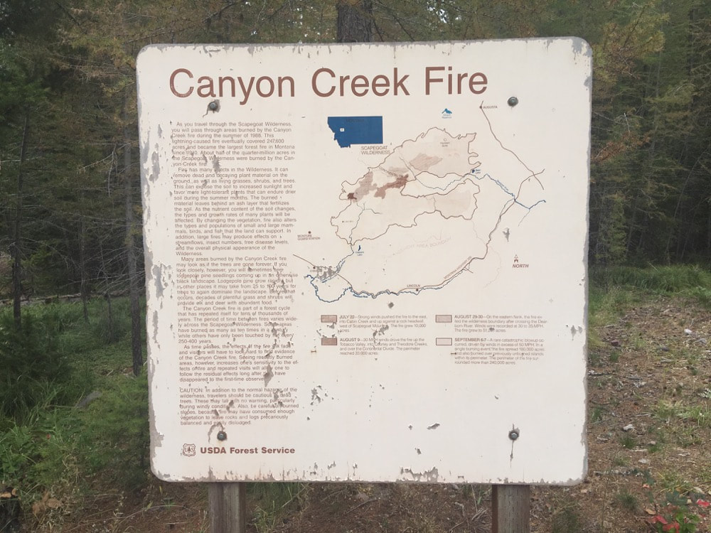
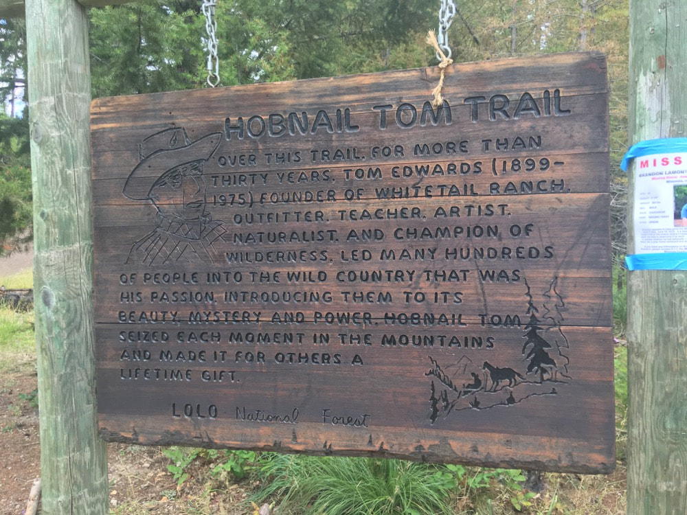
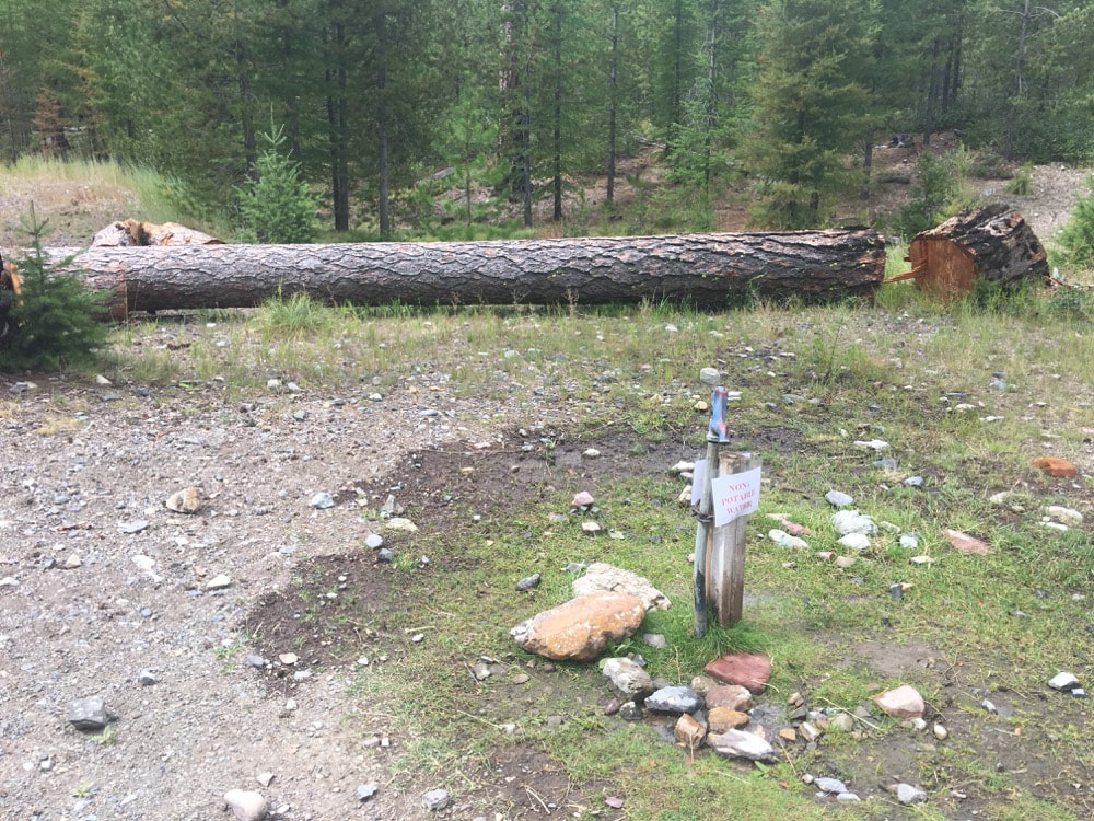
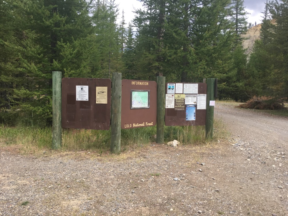
- The trailhead is very well marked, with information about the Canyon Creek fire, which happened in this area, and the Hobnail Tom Trail along with all the normal forest service information about the area. The trailhead is across from a parking area for hikers, which sits at the bottom of the loop of campsites set up for horse-packers. Off to the right of the trailhead, there are a few areas where hikers without horses can pitch a tent. There is an outhouse (typical forest service style) just behind the general parking area, and a pump for water with a horse trough for watering horses just to the side of the outhouse.
|
|
|
|
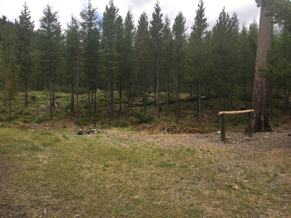
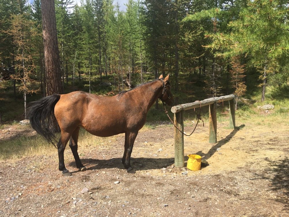
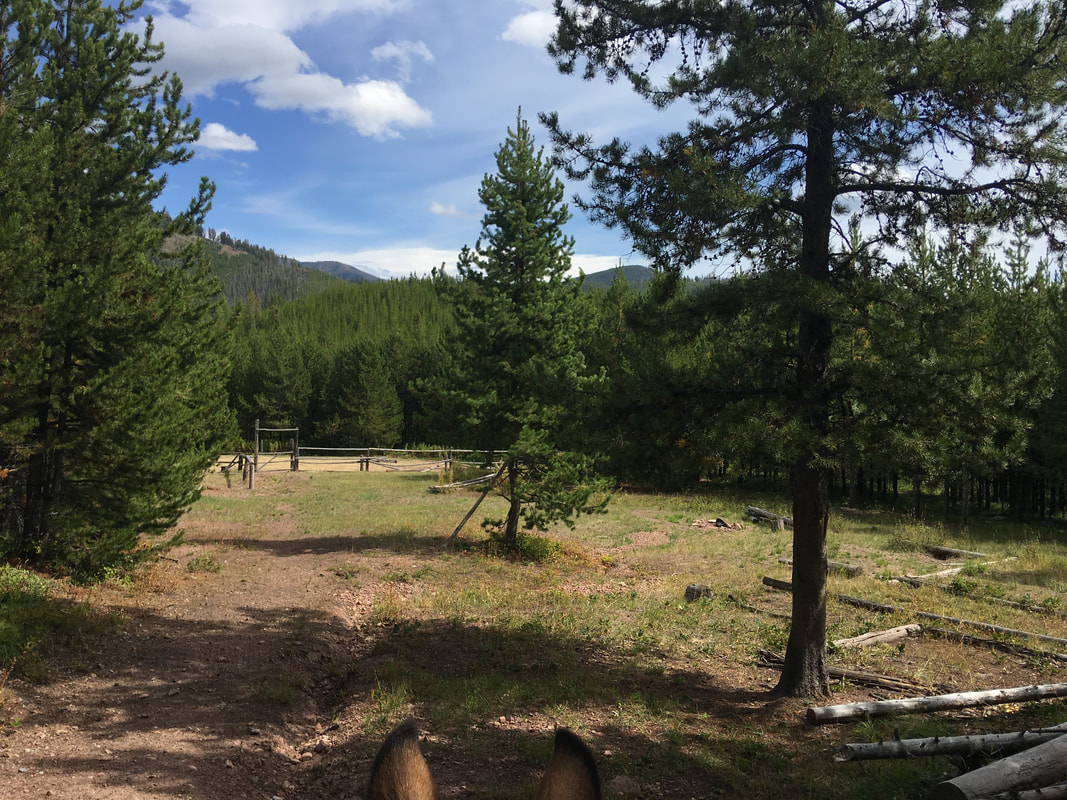
- The horse-friendly campgrounds are nice. Each comes equipped with hitching posts for tying horses, trees for extending high-lines and plenty of room for a truck and trailer to pull through. The campsites around the inner loup made by the road are smaller, the ones to the right, on the outer side of the road, are larger and could fit large rigs and often multiple rigs. They have room for setting up panels to contain many horses at once.
|
|
|
(click on map above to go to this location in google maps)
|
GETTING THERE:
|
|
|
|
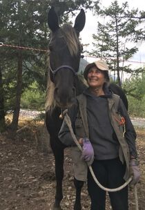
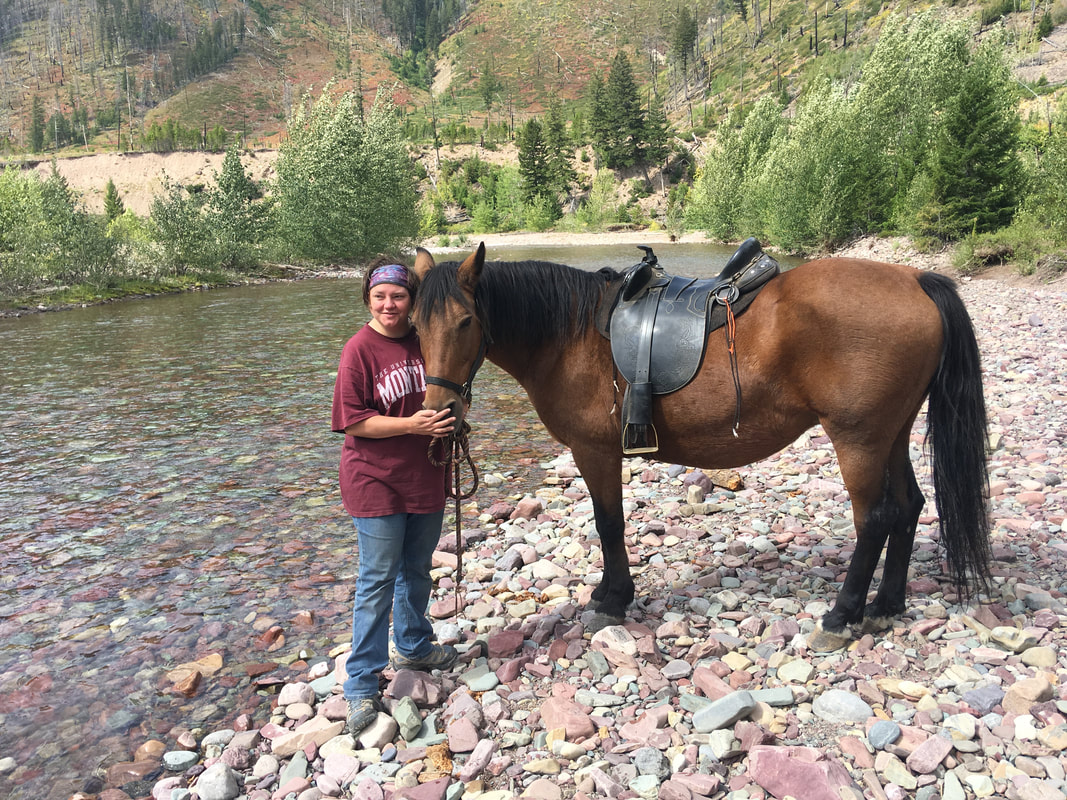
THE GROUP:
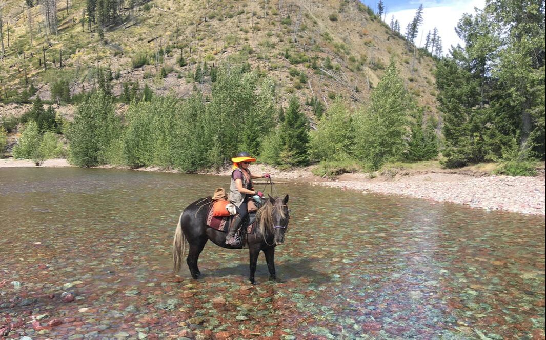
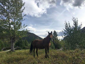
- Our group consisted of two women, two horses and a dog. The other rider was an experienced packer but neither of us had done this trail before.
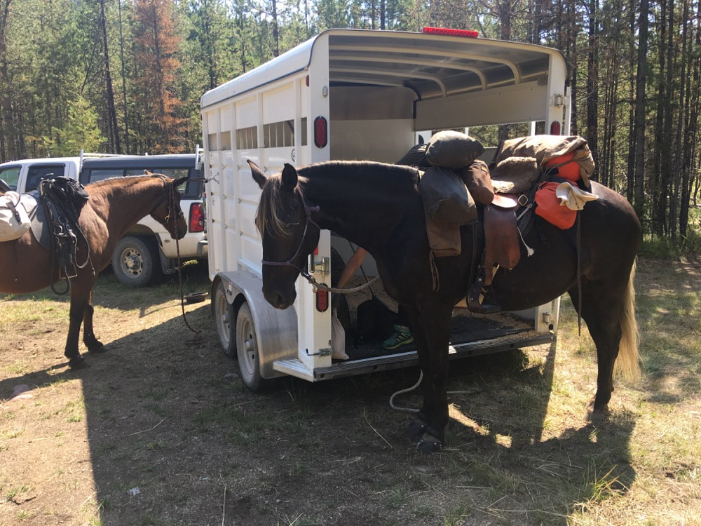
- We didn't take a pack horse, but loaded each of our horses up with minimilist, ulta-light-weight backpacking gear. I have mixed feelings about doing it this way. It is nice to have only one horse each, both on the trail and at night, around camp. But carrying a saddle, rider and all the gear the horse and rider need puts a lot of weight on the horse and limits the time you can spend out significantly. I would say it could only be done if you assume you will find all the grazing the horse needs on the trail - you certainly wont be able to bring horse food on top of everything else. And that if you are going to do it this way, you need an efficient, compact packing system and absolutely minimal, ultra-lightweight gear.
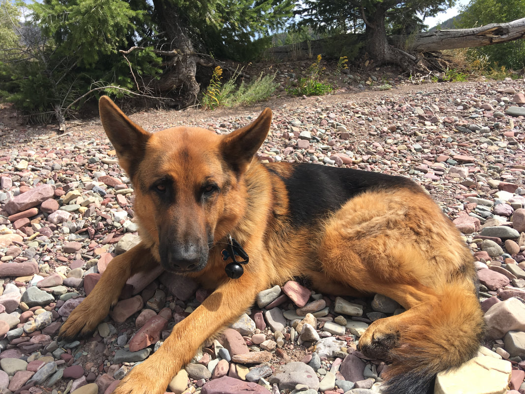
- As always, Kal (my german shepherd) carried his own gear.
|
|
|
DETAILS ABOUT THE TRAIL:
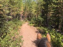
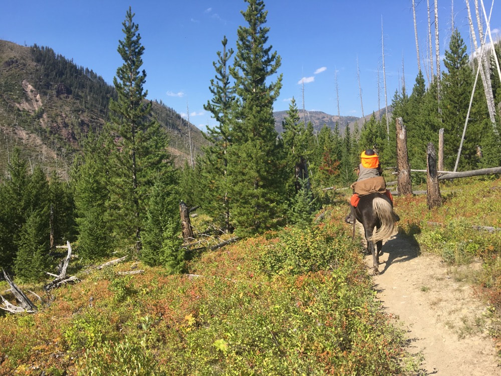
- The trail starts out relatively flat and wooded. Before long you start to climb a bit and meet the turnoff to go up to the outfitters camp, which sits above the campsite. The main trail continues on at that point and begins to get steep.
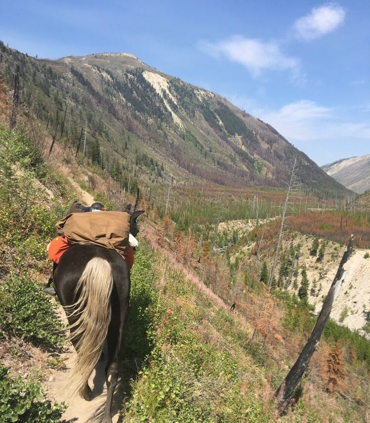
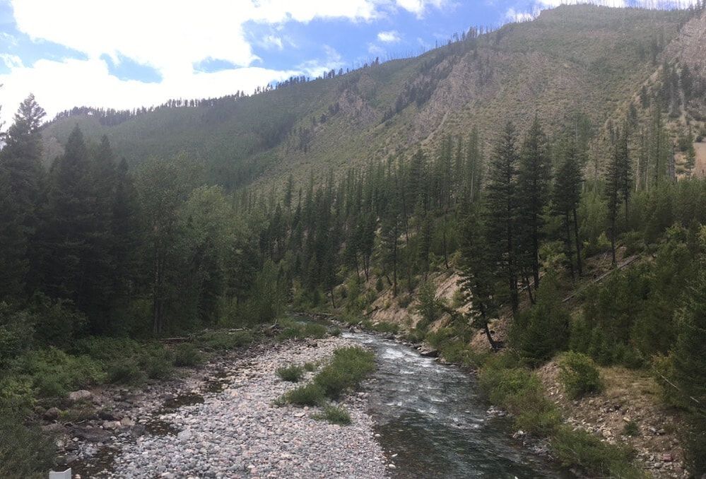
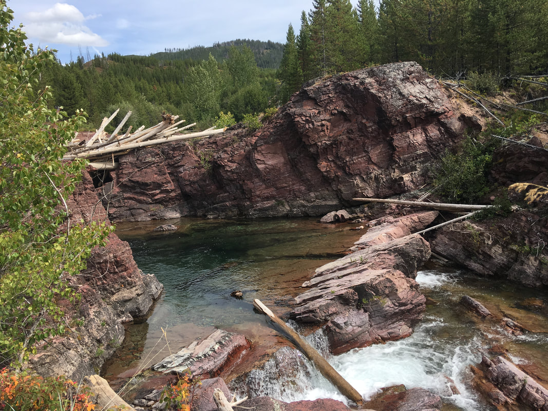
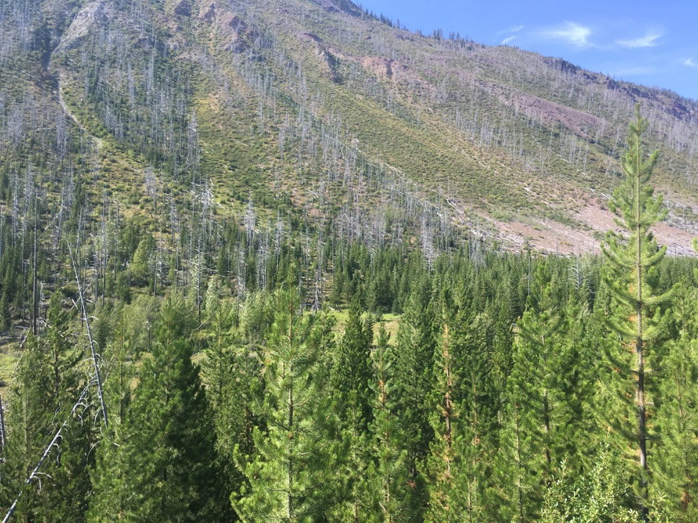
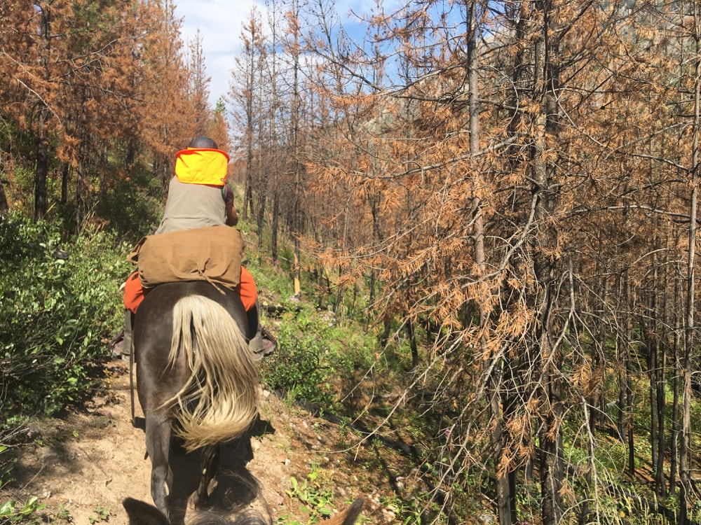
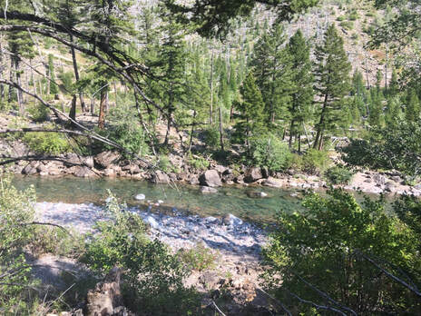
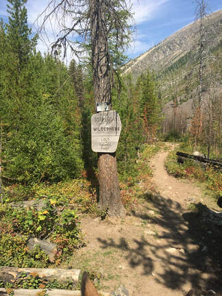
- A good bit of the trail is steep, often with scree-covered hillsides falling off bellow you. The nice thing about this situation is that whenever the trail gets too steep for horses to pass each other, it splits with a sign telling riders going in to take one fork and riders going out to take the other, so it is rare that you will meet a rider coming out in a place you cannot pass. Additionally, these steep bits are interspersed with frequents flatter, more spacious terrain, so that you rarely go a quarter mile without coming to a wider, flatter area. During much of the ride you can look down at the North Fork of the Blackfoot river.
|
|
|
|
|

|
|
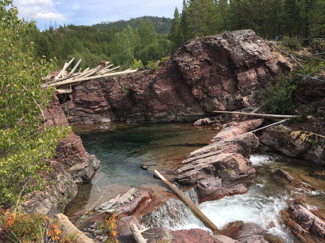
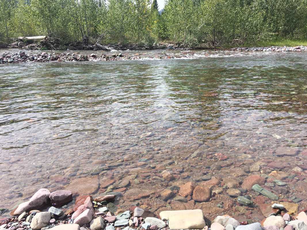
- The main trail continues straight on, crossing between the cabin and the corrals, but we took a left and followed a different trail through the woods, beside the corrals and beyond them. This trail wound down towards the river, through trees until it ended at the confluence of two rivers, one of which was dry this time of year, but the other which flowed steadily. We walked along the banks of these rivers for about half a mile until we found a small island in the midst of them which clearly made good camping. We set up camp there.
|
|